

Drafted with AI assistance from the sources listed; images are AI-generated illustrations. How EsoVitae is made
In 1983, an industrial designer and an anthropologist stood in front of a small archaeology symposium and proposed that the Earth has a hidden lattice. Their names were William S. Becker and Bethe Hagens, and the lattice they drew on the chalkboard had 62 vertices.
What the Becker-Hagens Planetary Grid Actually Is
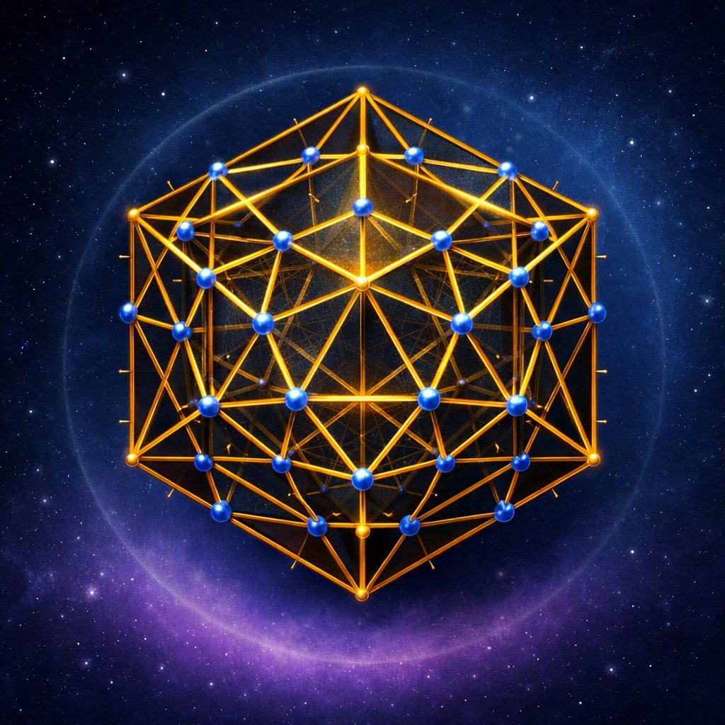
The Becker-Hagens Planetary Grid, formalized in 1983 and published in 1987 in David Hatcher Childress’s anthology Anti-Gravity and the World Grid, is a geometric overlay that drapes a compound polyhedron — an icosahedron nested inside a dodecahedron — across the surface of the Earth, generating 62 node-points where the two solids’ vertices, edge-midpoints, and face-centers intersect the planet’s skin [1][2]. The authors called the construction Unified Vector Geometry 120, or UVG-120, because the spherical net it produces can be subdivided into 120 right triangles, each one a fundamental tile in their proposed planetary symmetry. Becker was teaching industrial design at the University of Wisconsin-Stout when he met Hagens, an anthropologist then at Governors State University in Illinois, and the partnership produced one of the most cited diagrams in the literature of so-called Earth grids [3].
The figure they drew is not, in itself, mystical. It is a piece of solid geometry that goes back to Plato’s Timaeus, where the dodecahedron is the form “the god used for arranging the constellations on the whole heaven.” What Becker and Hagens did — and this is the move worth examining carefully — was to project that solid onto a specific anchor point on the real planet (the Great Pyramid of Giza, at roughly 29.98° N, 31.13° E), rotate it to fit, and then claim that the resulting node grid landed on an unusually large number of archaeologically and meteorologically anomalous sites [4]. The geometry is borrowed; the assertion is empirical; the controversy is whether the empirical claim survives a fair test.
The 1973 Russian Antecedent: Goncharov, Morozov, Makarov
The grid idea did not originate with Becker and Hagens. In 1973 the Soviet popular-science magazine Khimiya i Zhizn (Chemistry and Life) ran an article titled “Is the Earth a Large Crystal?” by historian Nikolai Goncharov, construction engineer Vyacheslav Morozov, and electronics engineer Valery Makarov [5]. The trio proposed a different polyhedron — an icosahedron-dodecahedron compound producing 62 nodes — and argued that the world’s seismic belts, magnetic anomalies, atmospheric pressure cells, and the placement of ancient civilizations correlated with its edges and vertices. Their paper was translated and circulated in the English-speaking esoteric press by Christopher Bird, the American science writer best known for co-authoring The Secret Life of Plants (1973).
Chris Bird’s 1975 Bridge to the West
Bird’s article “Planetary Grid,” published in New Age Journal in May 1975, summarized the Goncharov-Morozov-Makarov hypothesis for American readers and seeded the vocabulary that Becker and Hagens would later refine [6]. Where Bird left the Russian construction roughly as it stood, Becker and Hagens spent the late 1970s redrawing it with what they considered cleaner geodesic logic — drawing on Buckminster Fuller‘s Synergetics (1975), which they cited as a foundational influence, and on Fuller’s earlier Dymaxion Air-Ocean World map. The result, presented at a 1983 conference associated with Pumapunku researchers and later issued in print, was their UVG-120 refinement, which preserved the 62-node count but resolved several seam ambiguities the Russians had left open.
The 62 Vertices and the Anomaly Catalog
The vertex-by-vertex catalog Becker and Hagens compiled is the document most often reproduced from their work, and it is the catalog around which the dispute turns. Among the 62 nodes, they identified Node 1 on the Great Pyramid of Giza, Node 11 in the so-called Bermuda Triangle (centered near 26° N, 75° W), Node 14 over the Algerian Sahara near Tassili n’Ajjer, Node 17 near Mohenjo-daro in the Indus Valley, Node 18 at Lake Baikal in southern Siberia, Node 20 on Easter Island (Rapa Nui), Node 35 near the Mariana Trench, and Node 41 near the Devil’s Sea south of Honshu [1][7]. The pattern they argued for: a non-random concentration of megalithic sites, geomagnetic anomalies, vortex phenomena, and unexplained disappearances aligned to vertices, edges, or face-centers of the projected polyhedron.
Standing at the site of any single one of these, the alignment can feel persuasive. Easter Island sits where it sits; Giza sits where it sits; the air above the central Atlantic does host a measurable geomagnetic minimum, the South Atlantic Anomaly, which NASA has tracked continuously since the 1958 launch of Explorer 1. The question the careful reader has to keep asking, walking through the table, is whether the alignments are tighter than chance permits, or whether the grid is loose enough to find a “node” within a few hundred kilometers of any landmark one wishes.
The Anchor and the Rotation
Becker and Hagens fixed Node 1 to the Great Pyramid because Giza sits very close to the centroid of Earth’s contiguous landmass, a coincidence first noted by Charles Piazzi Smyth in Our Inheritance in the Great Pyramid (1864) and revisited by Livio C. Stecchini in 1971 [8]. From that anchor they rotated the dual polyhedron until the vertex spacing produced what they called the maximum number of “felicitous” correspondences. The honest reading of this procedure — and Hagens herself has acknowledged the looseness in published interviews — is that the grid is anchored to one chosen point and then optimized for fit. That is a different epistemic operation from a predictive model.
The Cherry-Picking Critique: Sagan, Gardner, and the Texas Sharpshooter
The most serious objection to the Becker-Hagens construction is the same objection Carl Sagan raised in The Demon-Haunted World (1995) against a wide class of anomaly-clustering claims: the Texas Sharpshooter Fallacy, in which one fires at a barn and then draws the target around the densest cluster of holes [9]. Sagan’s specific demolition was aimed at Erich von Däniken and at general “ancient astronaut” cartographies, but the logic transfers cleanly. If a node is allowed to be “near” a famous site within a tolerance of several hundred kilometers, the planet is small enough — and the inventory of famous sites large enough — that any rotation of any reasonable polyhedron will hit something.
Two things get conflated here. The first is the geometric beauty of an icosahedron-dodecahedron tiling, which is real and a perfectly respectable subject for geodesic mathematics. The second is the empirical claim that this tiling captures a hidden structure in Earth’s geology, weather, or archaeological distribution. Martin Gardner, writing in Skeptical Inquirer across the 1980s and 1990s, repeatedly noted that the latter claim has never been formulated in a way that admits falsification: the grid’s tolerance band is rarely stated in kilometers, the universe of “anomalous sites” is rarely defined a priori, and the null hypothesis is rarely computed.
The Egyptian-Mediterranean Cluster: A Worked Example
Consider the densest claimed cluster, the Egyptian-Mediterranean band, where Becker and Hagens place Node 1 (Giza), Node 2 (the Mediterranean coast near the Nile Delta), and edge-midpoints connecting toward Stonehenge, Carnac in Brittany, and Delphi. At first reading the cluster is striking: five of the most celebrated megalithic or oracular sites in the ancient world, all sitting within a few degrees of arc of grid features [1][10]. The harder question is what the prior odds are. The Mediterranean and Northwest European coasts host hundreds of known megalithic complexes; Egypt hosts dozens of major pyramid fields; Greece hosts seventy-plus oracle sites. The pre-grid base rate of “famous mystical place per square kilometer” in that band is extraordinarily high. Drop any roughly continental-scale polyhedron on the planet and that band will light up.
How to Read the Grid Charitably
There is a charitable reading of the Becker-Hagens construction that does not require it to be a literal physical model of Earth’s energy structure. Bethe Hagens has described the grid, in lectures recorded through the 2000s and 2010s, as a meditation aid and a teaching geometry — a way to make the dodecahedron-icosahedron compound (the same compound Plato singled out, and the same one M.C. Escher engraved as Gravitation in 1952) feel like it belongs to a real planet rather than to a Platonic abstraction [3][11]. In that frame the grid is doing what sacred geography has always done: it is laying a comprehensible figure across a vast and otherwise illegible surface so that the human mind can hold the whole at once.
The load-bearing fact: the geometry is real, the projection is a choice, and the correlation claims are not yet stated in a form that physics or archaeology can falsify. A traveler can hold both of those at once. The site that sits on Node 7 or Node 23 is the site that sits there for its own reasons — geological, hydrological, political, sometimes simply because a long-vanished surveyor chose it — and the grid is, at best, a mnemonic that lets us name those reasons together.
What the Site Teaches: A Field Note on Standing at the Anchor
Standing at the site, at Giza, an hour before the morning tourist buses, the question that comes up is not whether Node 1 is real. The question is why the Old Kingdom architects chose a plateau that happens to sit so close to the contiguous-landmass centroid. The likeliest answers are practical: the limestone of the Mokattam Formation; the prevailing northerly wind that helped barge-haulers; the proximity to the Nile and to the Memphis political seat; the line-of-sight from Heliopolis. A grid that names this place a node is not predicting anything the Old Kingdom surveyors did not already know in their own vocabulary. What the place’s actual claim on us is, after the geometry and the controversy are both set aside, is the survey itself — the choice, in the third millennium BCE, of a spot that the centroid math of 1864 would later catch up to.
Comparison: Three Earth-Grid Frameworks
| Framework | Year | Authors | Vertices | Anchor Point |
|---|---|---|---|---|
| Goncharov-Morozov-Makarov grid | 1973 | Goncharov, Morozov, Makarov | 62 | Great Pyramid of Giza |
| Becker-Hagens UVG-120 | 1983 / 1987 | Becker, Hagens | 62 | Great Pyramid of Giza |
| Watkins ley-line method | 1925 | Alfred Watkins | N/A (linear) | UK-local |
The table makes the genealogical point legible: the Russian construction and the American one are the same geometry with a tighter edition; Alfred Watkins’s earlier The Old Straight Track (1925) is a different beast — local, linear, archaeological in its evidence base, and explicitly silent about polyhedra. Conflating the three, which the popular literature often does, obscures what Becker and Hagens actually contributed: not a discovery of the grid, but a clean redrawing of an existing Soviet figure with Fullerian rigor and an English-language publication that gave it durable shelf-life. For more on the broader landscape of sacred-place hypotheses, see the niche pillar at the Mystical Places and Lost Worlds overview.
Frequently Asked Questions
Who created the Becker-Hagens Planetary Grid?
William S. Becker, an industrial designer at the University of Wisconsin-Stout, and Bethe Hagens, an anthropologist at Governors State University, formalized the model in 1983 and published it in 1987 in David Hatcher Childress’s anthology Anti-Gravity and the World Grid.
What polyhedron underlies the grid?
A compound of an icosahedron nested inside a dodecahedron — two of Plato’s five regular solids. The compound’s vertices, edge-midpoints, and face-centers project to 62 points on Earth’s surface; the authors called the construction Unified Vector Geometry 120, or UVG-120.
Did the idea originate with Becker and Hagens?
No. The 62-node hypothesis was first published in 1973 by Nikolai Goncharov, Vyacheslav Morozov, and Valery Makarov in the Soviet magazine Khimiya i Zhizn under the title “Is the Earth a Large Crystal?” Becker and Hagens refined the geometry using Buckminster Fuller’s Synergetics.
Where is Node 1 located?
At the Great Pyramid of Giza, near 29.98° N, 31.13° E. Becker and Hagens anchored the polyhedron there because the site sits close to the centroid of Earth’s contiguous landmass, a coincidence noted by Charles Piazzi Smyth in 1864 and revisited by Livio C. Stecchini in 1971.
Is the grid scientifically accepted?
No. Mainstream geophysics, archaeology, and geodesy do not recognize the Becker-Hagens grid as a physical structure. Critics including Carl Sagan and Martin Gardner have argued that its claimed correlations are vulnerable to the Texas Sharpshooter Fallacy — drawing the target around the hits.
What is the South Atlantic Anomaly, and is it on the grid?
The South Atlantic Anomaly is a region of unusually weak geomagnetic field over the South Atlantic, tracked by NASA since the 1958 Explorer 1 mission. Becker and Hagens identified Node 35 in roughly that region, though the anomaly’s center has drifted measurably westward over the past six decades.
How does the grid relate to ley lines?
Alfred Watkins’s 1925 ley-line concept in The Old Straight Track is local, linear, and based on visible alignments of British monuments. The Becker-Hagens grid is global and polyhedral. They are sometimes lumped together in popular literature, but methodologically they are distinct frameworks.
Can the grid’s predictions be tested?
In principle, yes — by stating the tolerance band in kilometers, defining the universe of “anomalous sites” a priori, and computing the null hypothesis from a uniformly randomized polyhedron. To date no peer-reviewed study published in a geophysical or archaeological journal has accepted such a test against the Becker-Hagens construction.
Where can I read the original Becker-Hagens paper?
The 1987 essay “The Planetary Grid: A New Synthesis” appears in Anti-Gravity and the World Grid, edited by David Hatcher Childress and published by Adventures Unlimited Press. Bethe Hagens has also maintained an online archive of related lectures and diagrams.