

Drafted with AI assistance from the sources listed; images are AI-generated illustrations. How EsoVitae is made
The A46 Newark Bypass scheme, commissioned by National Highways in Nottinghamshire, England, has produced a multi-period archaeological site across five fields totalling 9.63 hectares, where 30 archaeologists working over 22 weeks documented one Roman well, two probable Anglo-Saxon houses, the remains of seven ancient individuals, and stone tools potentially dating to 6000 BC. The dig is statutory pre-construction archaeology under the National Planning Policy Framework, not a research excavation.
What the A46 Newark Bypass Dig Has Found So Far
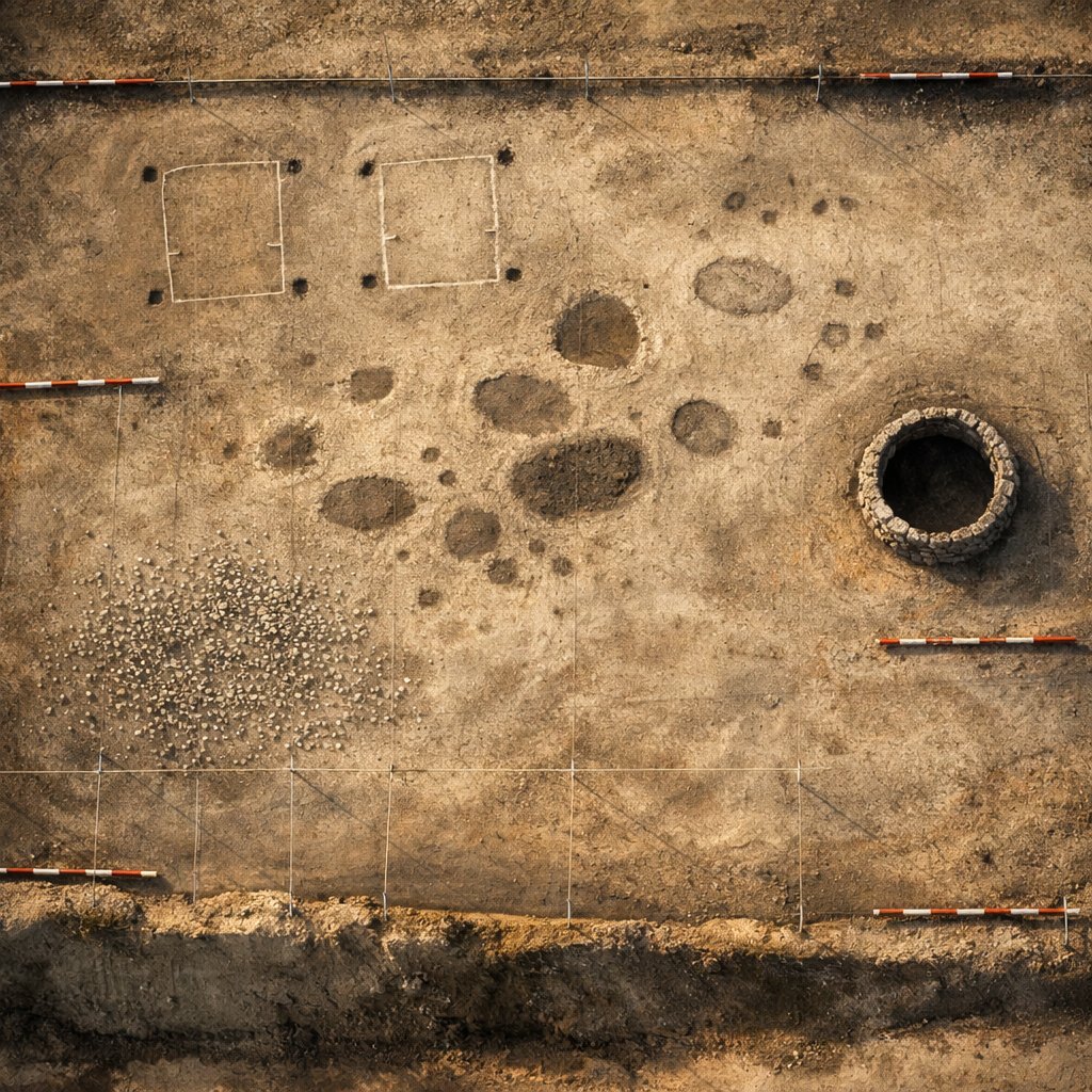
On May 15, 2026, New Civil Engineer reported that a 30-strong archaeology team had spent 22 weeks excavating five fields, 9.63 hectares in total, along the route of the A46 Newark Bypass in Nottinghamshire [1]. The work is being carried out ahead of construction by contractors under National Highways’ archaeology programme [1]. The published finds, as of May 2026, include the remains of seven ancient individuals, a single Roman well, two probable Anglo-Saxon house footprints, and lithic artifacts that may date to approximately 6000 BC, in the late Mesolithic period [1].
No single grand structure has emerged. Instead the site reads like a long, thin transect through eight millennia of habitation in the Trent Valley, a landscape that English Heritage and Historic England have repeatedly described as one of the most archaeologically dense corridors in lowland England [2]. The bypass route cuts roughly north–south between the existing A46 carriageway and the River Trent, a position that has been favourable to settlement since the retreat of the last glaciation.
Reports name no fully excavated cemetery, no temple complex, no villa. What the team appears to have documented, on present evidence, is the ordinary residue of ordinary lives, stacked one period atop another. That residue is what statutory pre-construction archaeology in England is designed to recover before a road, a railway, or a housing estate erases it [3].
Why a Road Project Triggered a 22-Week Excavation
Under the National Planning Policy Framework, the United Kingdom requires that infrastructure projects assess and, where necessary, excavate heritage assets before ground is broken [3]. The framework superseded Planning Policy Statement 5 (PPS5) in 2012 and codified what archaeologists call “developer-funded archaeology,” in which the body commissioning the construction also funds the dig [4]. National Highways, the statutory body responsible for England’s strategic road network, therefore pays for the A46 Newark Bypass excavation as a condition of the planning consent.
The pattern is not new. The HS2 archaeology programme, which began intensive fieldwork in 2018 ahead of the High Speed 2 railway, has been described by Historic England as the largest archaeological exercise ever undertaken in Britain, with more than 1,000 archaeologists across roughly 60 sites between London and Birmingham [5]. HS2 produced finds ranging from a Roman trading town at Fleet Marston to the burial of Captain Matthew Flinders at Euston [5]. The A46 dig sits well below that scale, but operates under the identical statutory pattern: development triggers assessment; assessment triggers excavation; excavation triggers a report deposited with the local Historic Environment Record.
Stripped of folklore, developer-funded archaeology is a procurement process. The contractor estimates the heritage risk, the regulator confirms it, the developer pays a specialist field unit to recover what would otherwise be lost. The romance of “discovery” is real, but the framework is bureaucratic and audited [3][4].
The Mesolithic Layer: 6000 BC Tools
The earliest finds on the A46 site are reported as flint artifacts that may date to approximately 6000 BC, placing them in the late Mesolithic period [1]. The Mesolithic, in northern European chronology, runs from roughly 9700 BC to 4000 BC, the stretch between the end of the Pleistocene and the arrival of farming [6]. Communities in this period were mobile foragers, working microliths (small, geometric blades hafted into composite tools), fishing the rivers, and exploiting woodland resources.
A Mesolithic presence near the River Trent is unsurprising. The middle Trent has produced microlithic scatters at Misterton Carr and other locations documented in the Mesolithic Settlement in Northern England synthesis [6]. What would be significant is not the presence of tools but their context: are they a single scatter from a hunting halt, or evidence of a more sustained occupation? As of May 2026, the published reporting does not yet specify the lithic assemblage’s size or the precise field within the 9.63 hectares that produced it [1].
The distinction matters because a half-dozen flakes is a hunting halt; several hundred is a base camp; the difference rewrites how the Trent Valley was used in the seventh millennium BC. The site report, when issued, should disambiguate.
The Roman Well: One Feature, Many Questions
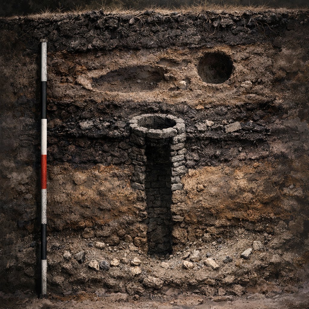
A single Roman well was excavated within the bypass corridor, attributable to the Roman occupation of Britain (AD 43 to roughly AD 410) [1]. The Trent Valley sat within the territory of the Corieltauvi, a pre-Roman tribal grouping that became part of the Roman province after the Claudian invasion, and the area around modern Newark-on-Trent lay between the Roman roads of Fosse Way and Ermine Street [7]. Roman wells in this region typically served small rural settlements, agricultural enclosures, or roadside way-stations, rather than urban centres.
A well, by itself, is thin evidence. What lifts a well from feature to interpretation is its fill: pottery, animal bone, organic material preserved by waterlogging, and any structured deposition (deliberate placement of objects) at its base. Roman wells across the East Midlands have produced everything from leather shoes to articulated dog skeletons, the latter sometimes interpreted as ritual closing deposits [8]. The A46 well’s contents, as of May 2026, have not been described in detail in the public reporting [1].
What the timeline reveals: a Mesolithic foraging presence around 6000 BC, then a gap of roughly six millennia before a documented Roman feature on the same fields. The two are not connected by continuity. They are two distinct occupations of the same favourable landscape, separated by a Neolithic, a Bronze Age, and an Iron Age that may or may not be represented in the lithic record of the dig.
Two Anglo-Saxon Houses and Seven Individuals
Two probable Anglo-Saxon house footprints were identified, attributable to the early-medieval period (broadly AD 410 to 1066) [1]. Anglo-Saxon domestic architecture in lowland England most commonly takes one of two forms: the Grubenhaus, a sunken-featured building with a rectangular pit floor and a small superstructure, often interpreted as a workshop or ancillary structure; and the post-built hall, a larger ground-level rectangular building [9]. The A46 reporting does not yet distinguish which form the two houses take.
The remains of seven ancient individuals are reported, though the period attribution of these remains has not been published in the available reporting [1]. In a multi-period site of this length, burials could plausibly belong to any of the documented horizons: prehistoric, Roman, or early-medieval. Radiocarbon dating and isotopic analysis, which are routine for human remains recovered in developer-funded excavations under the standards of the Chartered Institute for Archaeologists, should resolve the chronology before the final report is published [10].
Where the popular telling and the actual record diverge: media headlines often imply a single coherent “lost settlement.” The evidence as reported describes multiple separate occupations across at least three widely separated periods, on land that was attractive to humans for as long as humans have been in northern Europe.
How the A46 Site Compares to HS2
The A46 Newark Bypass dig is a small-scale parallel to the much larger HS2 archaeology programme, and the contrast clarifies what statutory pre-construction archaeology in Britain looks like in 2026 [3][5]. The comparison below summarises the published parameters of each.
| Parameter | A46 Newark Bypass (2026) | HS2 (2018–ongoing) |
|---|---|---|
| Commissioning body | National Highways | HS2 Ltd |
| Statutory framework | National Planning Policy Framework | National Planning Policy Framework + HS2 hybrid Act |
| Archaeologists on site | 30 | 1,000+ across the programme [5] |
| Area under excavation | 9.63 hectares (5 fields) | Roughly 60 sites, hundreds of hectares cumulatively [5] |
| Headline duration (reported) | 22 weeks | Multi-year, phased |
| Earliest period represented | Mesolithic, c. 6000 BC [1] | Mesolithic through 20th century [5] |
| Latest published find type | Roman well, two Anglo-Saxon houses [1] | Roman town, post-medieval burials [5] |
The A46 site is, in scale, an entirely ordinary developer-funded dig. What makes it worth attention is the same thing that makes most British roadside archaeology worth attention: the routine recovery of the deep past as a precondition of building the near future. The site report, when published in the Historic Environment Record, will be the primary document. Until then, the public account is provisional [1][3].
What Will and Will Not Be Settled by the Final Report
The eventual grey-literature report will settle a finite list of factual questions: the lithic assemblage’s composition and date range; the Roman well’s depth, lining, fill sequence, and dating evidence; the architectural form of the two Anglo-Saxon houses; and the period attribution, sex, age-at-death, and isotopic profile of the seven individuals [10]. These are the kinds of details that the Chartered Institute for Archaeologists Standard and Guidance for archaeological excavation require to be documented [10].
It will not settle interpretive questions about continuity. The site spans roughly 8,000 years between its earliest and latest reported components. No single occupation explains them all. The Mesolithic foragers, the Roman well-users, and the Anglo-Saxon householders did not know each other and likely did not know about each other. They chose the same fields for different reasons, separated by gaps long enough for the landscape itself to change.
For readers tracing the broader pattern of unexplained and multi-period archaeological structures across Britain, the parent index at Historical & Archaeological Mysteries situates this dig alongside other cases where infrastructure has surfaced material that the documentary record never recorded. The conclusion the A46 evidence supports, on the present record, is narrow: the Trent Valley around Newark-on-Trent was attractive to humans across three widely separated periods, and statutory archaeology has recovered a representative trace of each. That is the report. Anything beyond it belongs in the notes column.